Where to find thermals
Before you launch, and while you're flying, the question is always the same: where's the next climb? The planner gives you seven ways to answer it.
Before the day: the forecast
1. Thermal strength cells
On the map's Thermals layer each cell is coloured by forecast thermal strength (W*), hour by hour. Look for the stronger cells along your line, and for when they switch on and off. With RASP switched on, the cells come from a 4 km grid; otherwise from the free estimate.
2. Convergence and cloudbase
The Convergence layer shows where low-level winds meet and push air upwards. Those lines can give long streets of lift, and sometimes early overdevelopment. Cloudbase tells you how much working height you'll have.
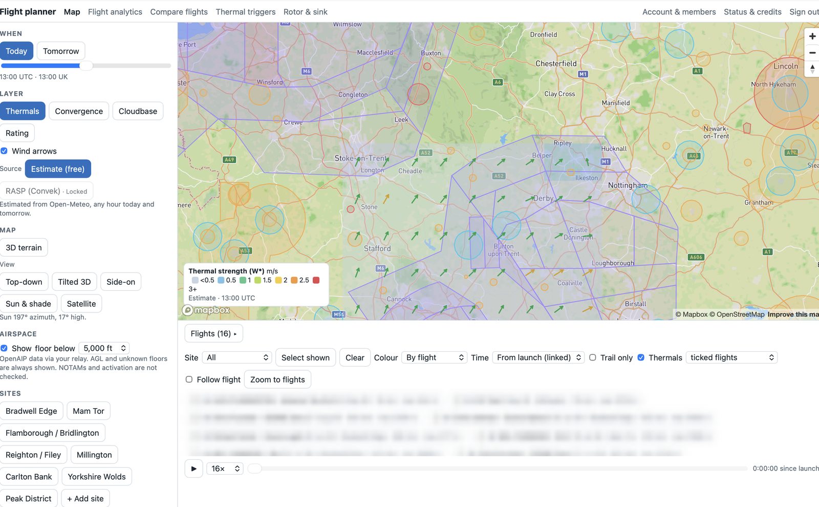
3. Sunlit slopes
Sun & shade shows which slopes face the sun at the chosen hour. Ground that has been heated longest and most directly tends to release thermals first, especially early and late in the day.
Planning a route: likely trigger spots
4. Trigger-spot dots
When you plan a route, orange dots mark likely trigger spots for 13:00 UTC: ground that faces the sun and sticks up from its surroundings, such as spurs and knolls. Triangles mark the highest summits. They're a rule of thumb, not a guarantee, but they're where the planner looks for climbs along each leg.
From the club's own flying
5. Club hotspots
Under the map, tick flights and switch on Thermals: every climb is drawn as a circle where it happened, sized by height gained and coloured by climb rate. All shown (hotspots) overlays every flight at a site, so the places that keep working stand out.
6. Triangulated trigger spots and places worth checking
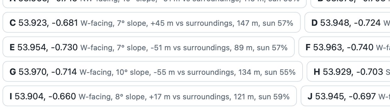
The thermal-trigger map traces each climb back to the ground it came from, and pins down spots where many climbs point. It also lists places worth checking: ground that looks like the spots that have worked, but has no climbs pointing at it yet. They're good candidates to try on a similar day.
After the flight: lift you missed
7. Unworked lift
On Compare flights, rings mark unworked lift: places where you flew through 1 m/s or more for at least 25 seconds without turning. Over a few flights they show whether you're passing up climbs, and where.