Introducing the club XC planner
A browser-based tool for planning cross-country days, understanding your own flying, and learning where our sites really work.
It started as a way to answer questions I kept asking after flying. Was that day ever on for a proper XC? Did I leave that thermal too early? Why does everyone seem to climb out over the same field? It grew into four tools in one place, running in a web browser on a phone or a computer. No app to install.
What it does
1. Forecast map and XC planner
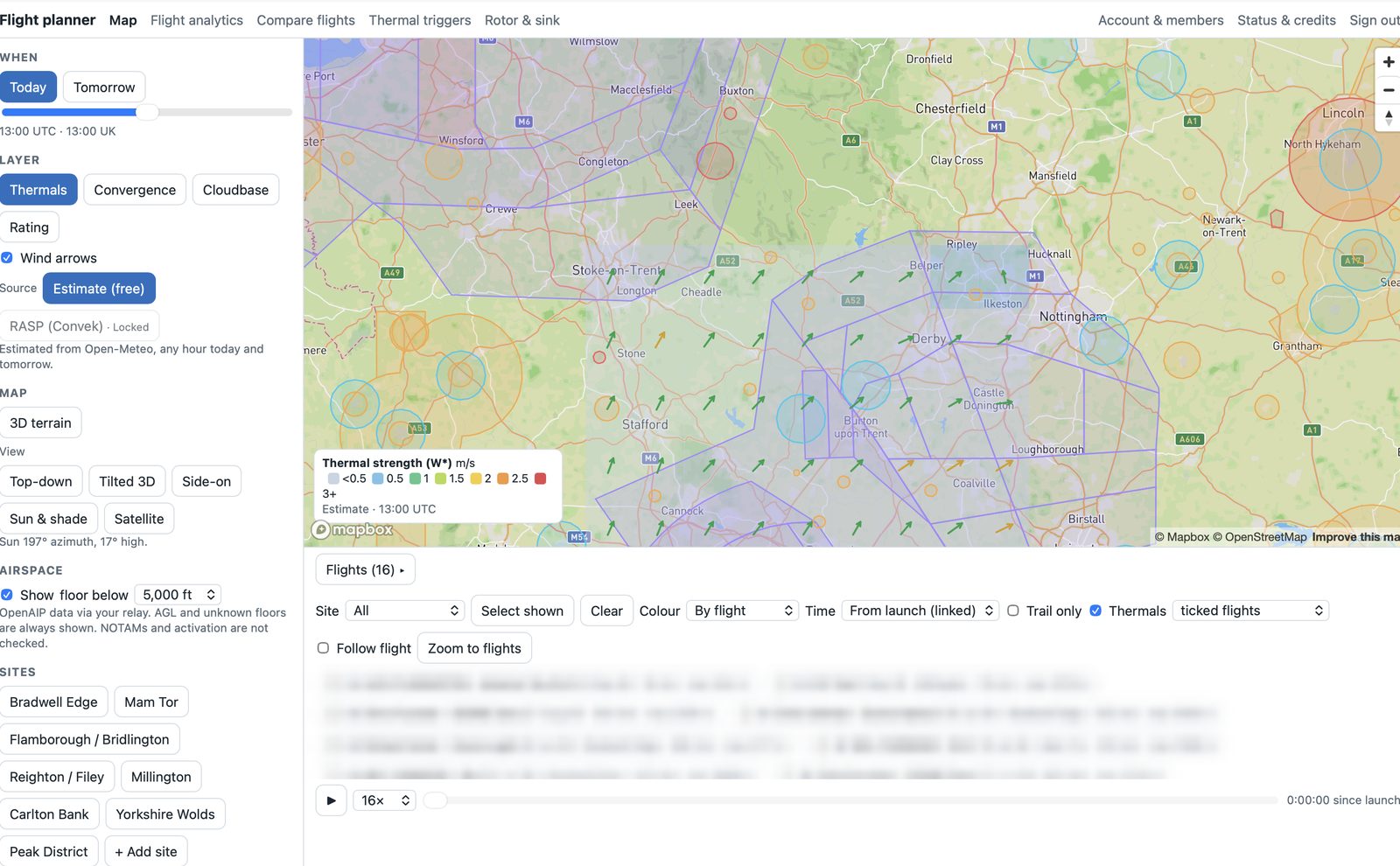
Thermal strength, convergence, cloudbase and an overall day rating on a map, hour by hour for today and tomorrow, with wind arrows, sun and shade on the hills and UK airspace filtered by height. Pick a launch and a goal (or go downwind) and it suggests a thermal-hopping route, with speed to fly, arrival heights and warnings for terrain, airspace and lift ending. When the day isn't good enough, it says so in plain words. More →
Where to find thermals
Forecast cells and convergence, sunlit slopes, likely trigger spots, the club's own climb hotspots and lift you flew straight through: the planner brings them together so you know where to look before and during a flight. More →
2. Flight analytics
Drop in IGC files and see how long your circles take and how tidy they are, how many thermals you left while they were still working, whether you reached the top of the lift, and how you glide. Compare up to four flights side by side and get a few plain-English pointers for next time. More → And for going deeper: advanced analytics →
3. Thermal trigger map
Every climb drifts with the wind, so the planner traces each one back to the patch of ground it probably came from. Lines from different pilots, days and winds cross where the real trigger is. Over enough flights, that builds a map of where our sites actually work, with a 3D flythrough. More →
4. Rotor and sink view
Pick a site, a wind direction and strength, and see where to expect ridge lift, sink, turbulence and rotor, in 3D and as a side-on slice. At Millington it uses 3-metre LiDAR terrain. More →
What it isn't
It's a planning aid, not a go/no-go tool. The forecasts are model values, rougher than a real RASP run; the route planner doesn't know about landing fields, wires, NOTAMs or how you feel on the day; and the thermal and rotor maps are only as good as the data behind them. Use it to think about a day and to learn from your flights. Look at the sky, read the site guide and use your own judgement before you launch.